FR4NKLIN
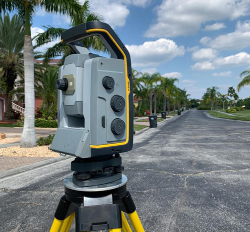
Professional surveying for all your development projects.
Serving Tampa & surrounding communities
Residential
Commercial
Subdivision
Drone Services
You deserve a seamless process with your new survey. We aim to provide legendary service at every step of the survey process. We’ve built a seasoned, hardworking team committed to delivering high-quality service for our clients—making every project we take on a successful one.
We offer advanced LIDAR acquisition services via aerial, terrestrial, and mobile applications, ensuring precise data for any project. Our UAV fleet maps hard-to-reach areas, providing high-quality detailed maps. Trust our experienced team for professionalism and precision in handling your survey needs, guaranteeing project success.

Experience Exceptional Service
Surveys Done on Time • High Quality Work • Done Right the First Time
ALTA/NSPS LAND TITLE
LAND SUBDIVISION
TOPOGRAPHIC
SUBSURFACE UTILITY MAPPING
DRONE MAPPING
BOUNDARY
GEOPHYSICAL SOLUTIONS
TREE & TOPOGRAPHIC SURVEYS
CONSTRUCTION STAKING
Solutions by Fr4nklin Surveying
Consultation
Site Surveying
Plan Completion
We’ve assembled a skilled, dedicated team devoted to providing top-notch service to our customers, ensuring success in every project we undertake.
Let’s Get Started on Your Next Project
© Copyright 2025 Fr4nklin. | Website by Westwood Creative
